CONTINENT
 GEOLOGY
WEATHER PATTERNS
LATITUDE
S.E. DETAIL
Many more maps, with depictions of everything from small villages to our entire world await in musty boxes and scroll tubes...
Have patience with our scribes, and all will be revealed in time.
TRISHORE
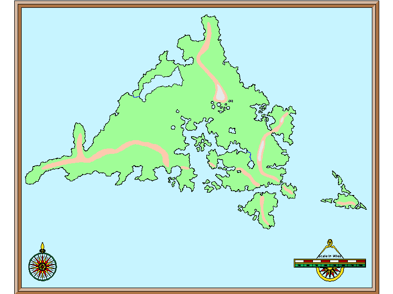
This is the present-day outline of Trishore, versus how the continent appeared before Firefall. Sealevels - not to mention the continent itself - have changed immensely since that day over 4,000 years ago.
From the easternmost isles to westernmost tip, this depiction of Trishore covers about 14,000 km. Virtually all of the materials that are contained in these records relates to the south-east third of this drawing.
 HOME
HOME